Basic Geological Map of Brijuni National Park (Scale 1:25,000)
In cooperation with the Croatian Geological Survey, Brijuni National Park prepared the Basic Geological Map of the National Park at a scale of 1:25,000 during 2024 and 2025. This represents the first time that the entire archipelago has been mapped in detail. Previous studies were based on now outdated methods or covered only parts of the archipelago (such as Veliki Brijun Island).
The geological map of Brijuni National Park provides a wide range of important information, including data relevant to spatial planning, construction works, professional and scientific research, the distribution of geological materials and surface features, as well as educational and interpretive purposes. The map will serve as a foundation for future research on dinosaur trace fossils and other geological and paleontological phenomena. It can also be further developed into specialized maps, such as geomorphological maps, cave and speleological feature maps, and others.
In addition, the information contained in the map is valuable for scientific disciplines beyond geology and will contribute to improved park management, particularly in the planning and implementation of construction and infrastructure projects.
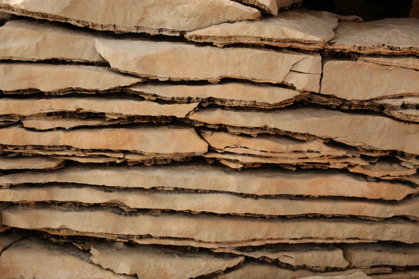
A total of eight rock units were distinguished—three units dating to the Cretaceous Period and five units dating to the youngest geological period, the Quaternary.
The rocks that form the Brijuni Archipelago were deposited during the Cretaceous Period and the Quaternary, the geological period in which we currently live. The Cretaceous rocks were formed more than 125 million years ago, when this area was part of an extensive coastline of a shallow, warm sea and tropical lagoons. Numerous marine organisms inhabited this environment, while other animals, including dinosaurs, occasionally moved across the coastal plains. Their preserved fossil footprints provide undeniable evidence that these large reptiles lived and moved through the area of present-day Brijuni. Cretaceous units are:
“Mali Brijun” Unit – Approximately 125 Million Years Old
The oldest rocks in the archipelago belong to the geological unit informally known as the “Mali Brijun” Unit. These rocks make up a large portion of the archipelago, including the central and eastern parts of Veliki Brijun Island, the entire island of Mali Brijun, and several smaller islets such as Gaz, Obljak, Supin, and Supinić.
They were formed approximately 125 million years ago in a shallow marine environment rich in microorganisms such as cyanobacteria and algae. Their activity produced layered structures known as stromatolites (Figure 1, Figure 2), which can still be observed in the rocks today. The finest examples can be seen on Mali Brijun Island along the “Stone Bridge” educational trail and between Cape Hlibine and Črnika Bay.
These deposits also preserve evidence of ancient coastal environments, including ripple marks formed by wave action (Figure 3), mud cracks created by the drying of sediment, and even fossil dinosaur footprints (Figure 4), such as those found in the Dino Park area near the Safari Park.
“Kanfanar” Unit – The Famous “Istrian Yellow Stone”
The next rock layers were formed approximately 120 million years ago. This geological unit is known for a type of limestone called “Istrian Yellow”, one of the most highly valued building stones in Istria.
This stone has been used since antiquity, and on Brijuni it was especially quarried on the islet of Sveti Jerolim, where the remains of historic quarries can still be seen today.
These rocks are light yellow to brownish in color and contain numerous remains of ancient marine organisms, predominantly algae, visible in microscopic thin sections. Such fossil assemblages are particularly characteristic of this geological period. Within the National Park, these rocks occur in smaller areas on Veliki Brijun Island as well as on the islets of Sveti Marko and Sveti Jerolim.
The uppermost part of the Kanfanar Unit is marked by increased deposition of clay-rich sediments, indicating shallower depositional environments and a gradual emergence of land above sea level.
“Crna” Unit – Environmental Changes Approximately 110 Million Years Ago
The youngest Cretaceous rocks on Brijuni belong to the unit known as the “Crna” Unit, named after a locality on the island of Cres where it was first described.
These rocks formed following a period of intensive emergence of land, after which a global rise in sea level (marine transgression) caused formerly exposed areas to once again become coastlines and shallow marine environments, this time with a somewhat different fossil assemblage.
Among the microfossils, foraminifera are particularly abundant, unlike in the older units where they are less common. Macrofossils include fossil accumulations of various invertebrates such as Nerinea gastropods (Figure 5), other gastropods, bivalves, and, in some places, early rudists.
These fossil accumulations represent patch reefs—small, isolated reefs developed on relatively flat seafloors (Figure 6). The term “patch reef” refers to their appearance on geological maps, where they resemble scattered patches or islands of reef material dispersed throughout lagoons or shallow seas. Bioclastic shoals composed of similar fossil debris also occur alongside these reefs.
Like the Mali Brijun Unit, the Crna Unit contains ripple marks, although these are significantly larger in scale.
The Crna Unit is also characterized by an exceptionally high abundance of dinosaur trace fossils. Of the nine known dinosaur tracksites within Brijuni National Park, eight occur within this unit (Figure 7).
One of the best and most representative locations where these rocks can be observed on Veliki Brijun is along the Zelenikovac Educational Trail on the peninsula of the same name.
Quaternary Deposits
Among the younger Quaternary deposits, five different types of soils and sediments have been identified:
Bone breccias occur along the southeastern coast of the Zelenikovac Peninsula (Figure 8). These sedimentary rocks contain fragments of animal bones, most likely from Pleistocene mammals, and were formed after the last Ice Age approximately 12,000 years ago.
Red-brown soils are the dominant soil type in the Brijuni Archipelago. They are particularly widespread on Veliki Brijun, extending from the northern part of the island southward to the Peneda Peninsula. These soils consist of fine clay-rich material and formed relatively recently during the Holocene Epoch.
Marsh sediments occur between Dobrika Bay and Javorika Bay. They consist of fine clayey-silty deposits rich in organic matter, formed along the shores of a former marine inlet.
Marine beaches and shore deposits are composed of gravel, rock fragments, and sand containing fossils of small organisms. In some places, these deposits also include material artificially added by human activity.
Anthropogenic deposits demonstrate the significant influence of humans on the Brijuni Islands throughout history. These include quarries, lime kilns, archaeological sites, hillforts, golf courses, military installations, and various other structures.
Basic Geological Map of Brijuni National Park, Scale 1:25,000
Map Authors:
BRČIĆ, V.,FUČEK,L.,PALENIK,D.,BUDIĆ,M.,KUREČIĆ,T.,WACHA,L., ŠPELIĆ, M.,MIŠUR,I.(2025): Osnovna geološka karta Republike Hrvatske M 1:25 000 – NACIONALNI PARK BRIJUNI, ISBN: 978 – 953 – 6907 – 91 – 5